Newman Surveying
Newman Surveying is based in Cleethorpes, North East Lincolnshire and is part of Newman Properties Limited, a development company established in 1982.
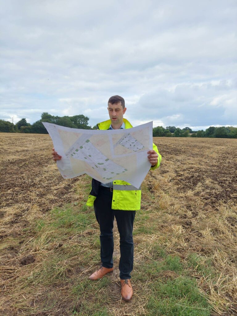
Meet David
David Newman (BSc Hons) studied Building Surveying at Leeds Metropolitan University before moving into land surveying. After living in Australia and being involved in civil surveying projects in Sydney, David moved to Tunbridge Wells, Kent, where he specialised in Land Registry compliant plans for 5 years. He delivers a complete service, from initial contact through to survey and delivery of the finished documentation. With many years spent in the surveying industry and client facing roles, you are in safe hands with Newman Surveying.
Why Choose Us?
Our Services
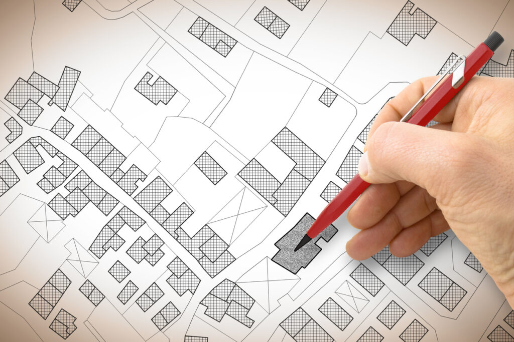
Title Plans
There are a number of requirements that have to be met in order for a plan to be accepted by the Land Registry. Our surveyors can come to site to accurately map out the boundaries with our mapping equipment.
Lease Plans
A lease plan will show both the internal layout of the property and the location of the property. Our surveyors will come and measure the properties to RICS guidelines.
First Registrations
With access to the Land Registry we can check if your land has been registered. If the land has not be registered our surveyors can come and map the boundaries of your property and produce the necessary plans you will need for submission.
Adverse Possessions
There are times when you may need to apply for adverse possession. If this is the case our land surveyors will come and map out the physical boundaries and prepare any Land Registry plans required. Newman Surveying can prepare these plans which can be passed on to your solicitor to submit to the Land Registry.
Land Transfer
You will need a Land Registry compliant plan if you are selling or gifting some land. Our surveyors can come and map out the current boundaries and where the new dividing land will be. We use the latest surveying mapping equipment ensuring you get an accurate legal plan for the Land Registey and your solicitors.
Determined Boundaries
Using Land Registry plans our surveyors can upload the relevant documents to our mapping equipment and place markers in the ground. The line can then be used by contractors to install a physical boundary if necessary.
Full Measured Surveys
We produce floor plans, elevations and sections and produce both PDF and DWG files to assist architects with any planning applications. This could be a full refurbishment or an extension to an existing building.
Topographical Surveys
If you need an accurate survey of a site we produce a detailed scaled drawing of ground features including boundary structures, trees and positions of building as well as elevation data shown as spot levels and contours.
If you require any other types of survey, please don’t hesitate to get in contact with us.